


Top Stories
Get your top stories below

The Growing Role of Geospatial Technology in High-Speed Connectivity for All
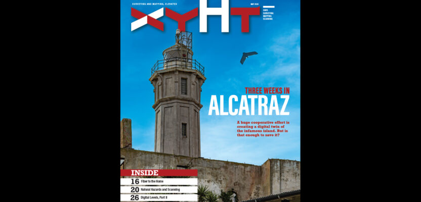
How mobile mapping is providing a reality capture solution for an ambitious fiber-to-the-home initiative in Ontario, Canada Investments in fiber-to-the-home or FTTH support digital equity to provide new economic, education, and public health opportunities in rural and remote areas. They also present a potential growth market for surveying companies and...

xyHt Weekly News Recap: 05/10/2024
Teledyne FLIR Defense Unveils Rogue 1 Loitering Munition System at SOF Week API Allows Customers to Directly Task World’s Largest SAR Satellite Constellation Registration Open for Commercial UAV Expo Airbus completes acquisition of UAS maker Aerovel Descartes Labs Accelerates Mission-Ready Solutions with EarthDaily Constellation Flight Chaos in NATO Countries Amid...

Topobathymetric Lidar Tackles Great Lakes Coastal Mapping Project
The Great Lakes Restoration Initiative is an effort to protect and restore the largest system of fresh surface water in the world—the Great Lakes. As a part of this initiative, the National Oceanic and Atmospheric Administration (NOAA) has an ongoing effort to update all its bathymetric maps in the Great...